Sledging Trails
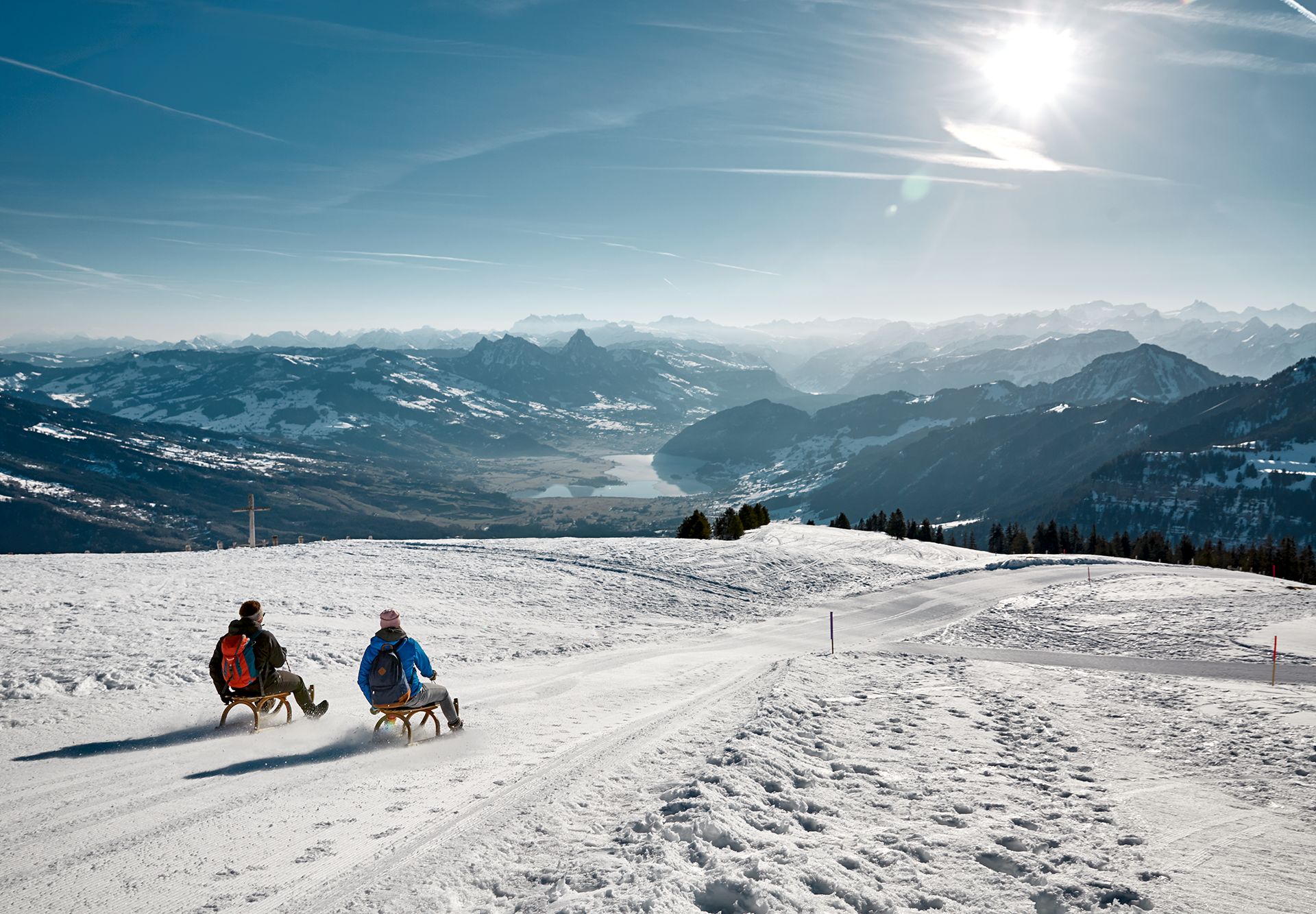
Fun and adventure on the sled
Whether with friends, family or as a couple – sledging is always fun.
It is best to find out about the condition of the slopes or the snow conditions in advance from the local tourist office, the mountain inn or (for the mountain railways) on the internet.
On your sleds, get set, go!
Carì
3 km / 350 metres of elevation
Start: Carì Brüsada, 2000 metres above sea level
How to get to Faido; then take the 119 bus to Carì
Furka Pass
7.2 km / 566 metres of elevation
Start: Tiefenbach, 2106 metres above sea level
How to get to Göschenen; drive to Realp, then walk for 2 hours to Hotel Tiefenbach
Fronalpstock
2 km / 440 metres of elevation
Start: Fronalpstock mountain station, 1906 metres above sea level
How to get to Schwyz; take the Stoosbahn funicular railway from Schwyz bus station (Bus 1) and then take the mountain railway to the Fronalpstock
Rigi Kulm
3 km / 460 metres of ascent
Start: Rigi Kulm, 1748 metres above sea level
Travel to Arth-Goldau; take the train to Rigi Kulm
Myths, night sledging on the piste (Fri/Sat)
1.3 km / 232 metres of descent
Start: Handgruobi, 1300 metres above sea level
How to get to Schwyz; take the toboggan bus to the ski lift
Kerenzerberg
6 km / 536 metres of ascent
Start: Filzbach, Habergschwänd, 1279 metres above sea level
How to get to Mühlehorn railway station; take the 511 bus to Filzbach Tiefenbach sports centre
Atzmännig
2 km / 380 metres of elevation
Start: Atzmännig, mountain station, 1185 metres above sea level
How to get to Schmerikon: take the 630 bus in the direction of Atzmännig.
Tanzboden, evening sledging on the piste (Thu/Fri)
1.5 km / 296 metres of ascent (uphill at the T-bar lift)
Start: Tanzboden ski lift, 1181 metres above sea level
How to get to Ebnat-Kappel; free ski bus Tanzboden
Köbelisberg
2.1 km / 248 metres of elevation
Start: Köbelisberg restaurant, 1045 metres above sea level
How to get to Lichtensteig; 1.5-hour hike up Köbelisberg
Walzenhausen / Rheineck
1.8 km / 267 metres of elevation
Start: Walzenhausen, 666 metres above sea level
How to get to Rheineck: take the little train to Walzenhausen.
Stoos
4 km / 480 metres of elevation
Start: Stoos AR, 943 metres above sea level
How to get to Altstätten train station; take the 300 bus to Altstätten town; take the S24 to Stoos AR
Wangs
3.5 km / 480 metres of elevation
Start: Furt mountain station, 1520 metres above sea level
How to get to Sargans, take the 429/430 bus to Wangs, Pizolbahn
Brambrüesch
5 km / 420 metres of elevation
Start: Brambrüesch mountain station, 1000 metres above sea level
How to get to Chur: by foot to Chur, Brambrüesch cable car (13 min)
Rinerhorn
3.5 km / 600 metres of elevation
Start: Godschnaboden
How to get to Davos, Glaris – then 2 minutes on foot to the Rinerbahn cable car